📸 Image Gallery
Visual documentation of Perekop—from satellite imagery to historic battlefields

Satellite view of the Crimean Peninsula showing the narrow Perekop Isthmus connection to mainland Ukraine
Photo: NASA Earth Observatory | Public Domain
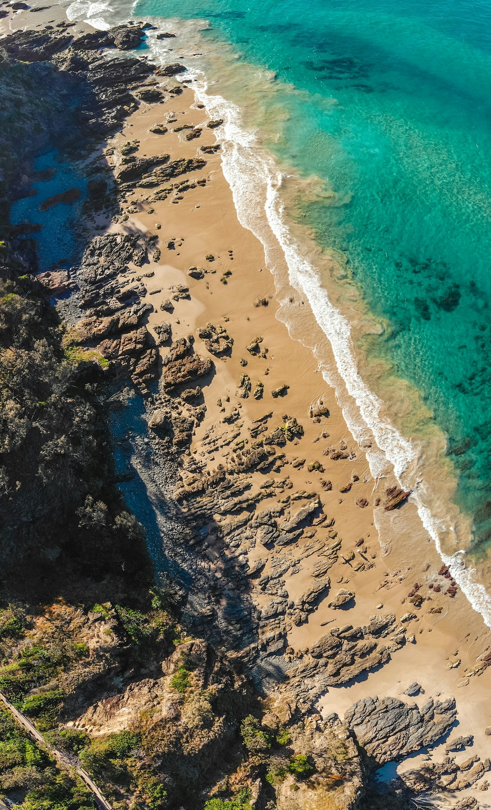
Black Sea coastline near Crimea—strategic waters contested since ancient times
Photo: Unsplash | CC0 License
Steppe landscape typical of the Perekop region—flat terrain ideal for tank warfare
Photo: Unsplash | CC0 License

Salt deposits characteristic of the hypersaline Sivash lagoon east of Perekop
Photo: Unsplash | CC0 License

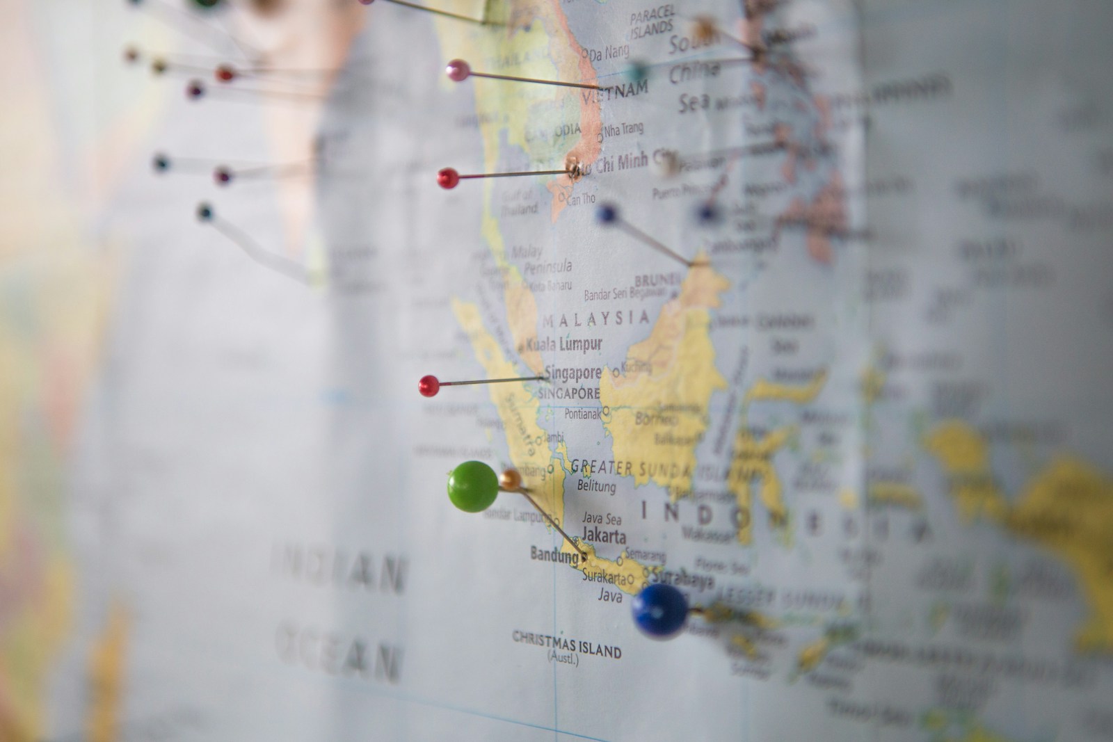
Railway infrastructure—severed connections across Perekop since 2014 annexation
Photo: Unsplash | CC0 License
Ukrainian flag—symbol of resistance and sovereignty claims over Crimea
Photo: Unsplash | CC0 License
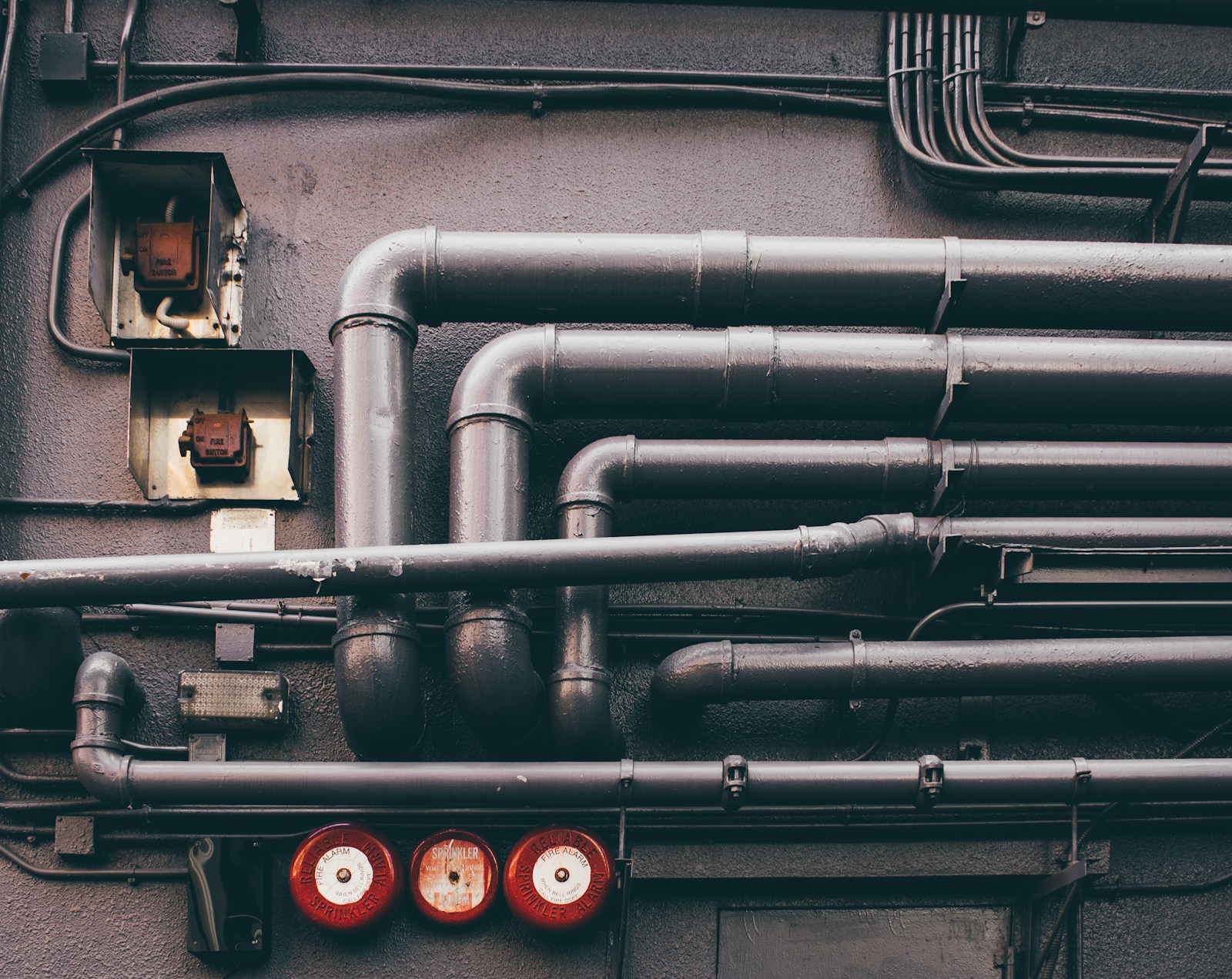
Military defensive positions—representative of fortifications across Perekop
Photo: Unsplash | CC0 License

Canal infrastructure—North Crimean Canal supplied 85% of peninsula's water
Photo: Unsplash | CC0 License
Agricultural fields—Crimean farming devastated by water blockade 2014-2022
Photo: Unsplash | CC0 License

Naval vessels—Black Sea Fleet's access via Crimea makes Perekop strategic
Photo: Unsplash | CC0 License
Coastal landscape of the Black Sea region adjacent to Perekop
Photo: Unsplash | CC0 License

Sunflower fields—Ukraine's agricultural heartland, now partially occupied
Photo: Unsplash | CC0 License